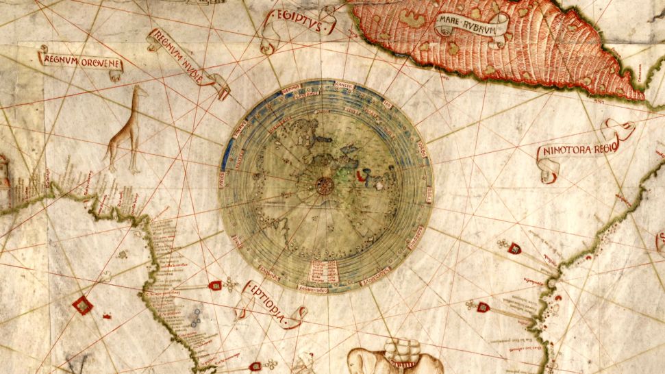
La Bibliothèque Nationale de France (BnF) et CNRS Images présentent « Au cœur des cartes », une série de quatorze courts films documentaires sur les cartes marines, appelées aussi portulans.
Ces documents manuscrits, rares et méconnus, datés des XIIIe au XVIIe siècles sont conservés à la BnF. De la plus ancienne connue – la Carte Pisane – jusqu’aux cartes hollandaises du XVIIe siècle, en passant par le somptueux Atlas Miller, lignes de vent, noms de lieux, échelles de distances, mais aussi blasons, villes réelles ou mythiques, épices et autres richesses exotiques nous invitent au voyage. Chaque détail est décrypté et raconte la manière dont les Européens se représentaient le monde.
Les films témoignent du double rôle de ces cartes, essentielles pour la maîtrise des mers et pour la diffusion des résultats des explorations et grandes découvertes.
Uniquement disponible pour exploitation non commerciale
Moyen Age ; Renaissance ; Colonisation ; Document ; Carte ; Epoque moderne
Mer et océan ; Asie ; Afrique ; Europe ; Amérique
| N° notice | 6859 |
| Public | Grand public |
| Support original | HD |
| Version | Français |
| Laboratoire | UMR8589 |
| Support de diffusion | Fichier numérique |